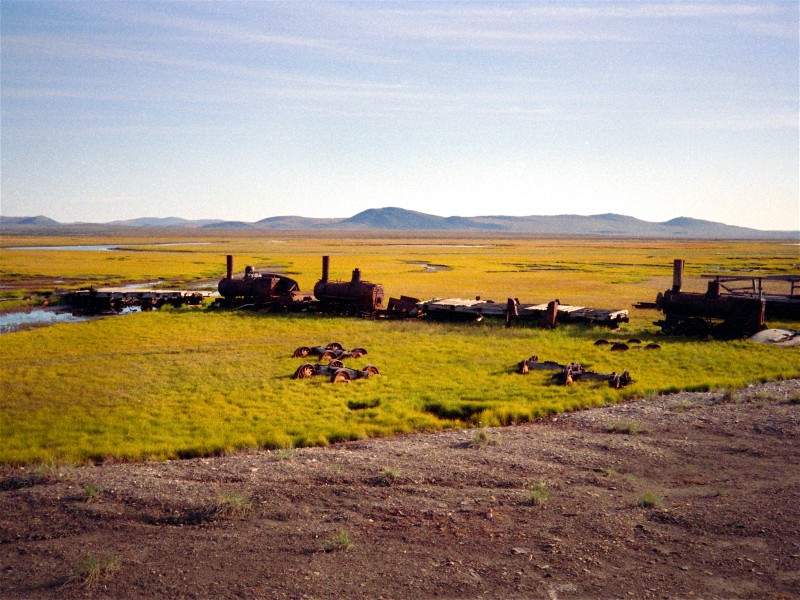
West Central Alaska for the purposes of this website includes the area of the Bering Sea from Cape Newenham to the South up through the Bering Strait into the Chukchi Sea into Kotzebue Sound to Cape Krusenstern. I have used NOAA International Chart 814 of the Northern Bering Sea to locate the losses. The locations of each wreck, given in longitude and latitude, are of the geographic feature nearest the loss, not of the wrecks themselves. I will leave that to those who visit the actual areas and seek out evidence of the casualties. I am listing vessels alphabetically and setting a link as I complete each letter.
( A ) ( B ) ( C ) ( D ) ( E ) ( F ) ( G ) ( H ) ( I ) ( J ) ( K ) ( L ) ( M )
( N ) ( O ) ( P ) ( Q ) ( R ) ( S ) ( T ) ( U-V-W ) ( X-Y-Z )

